The Southern Trail & The Back Side of Oakville
The Washington & Old Dominion (W&OD) railroad had been chartered in the 1840s with the goal of bringing coal from western Virginia to the Alexandria port. They began laying track in Alexandria and worked their way west, but never got further than Bluemont before running out of money. When Potomac Yard was built in 1905 a trestle bridge was constructed over the yard to allow the W&OD trains to pass from Alexandria to the west. The bridge was torn down with the demise of the railroad in 1968, but the concrete abutment on the west side of US1 (Richmond Highway) stood until the 1980s. The rails had been torn up when the railroad folded, leaving a linear roadbed through Del Ray. That roadbed was acquired by the City and turned into the linear Mount Jefferson Park.


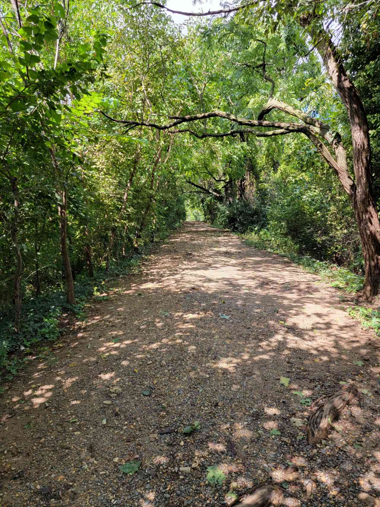
The southern (or eastern) end of the park is at US1 directly behind the Del Ray Animal Hospital at Custis Avenue. A gravel path leads up a short but steep slope to a raised berm that stretches to the northwest. From there you can look down onto the houses on Randolph Avenue on the left and Oakville on the right. This embankment was created because freight trains hate, hate, hate steep uphill slopes. That is particularly true when they are pulling heavy hopper cars full of coal on the southbound journey to the port. The railroad thus had to create a gradual slope up to the trestle bridge and they did that by creating a raised earthen embankment that gradually rose from where it crossed Raymond Avenue at grade south up to the bridge over US1 and Potomac Yard.
This was pretty straightforward until folks started putting up warehouses and light industrial buildings in the previously empty Oakville in the 1940s. At that point spur lines were run from the main track down into Oakville. These, of course, are long gone, leaving even less trace than the elevated berm that carried the main line.
At left, the peaceful southern end of the W&OD trail today.
Below: looking north along the tracks at the narrow end of Building 4. Note the spur line bearing off to the right. Judging by the poor state of the roadway, the photo was taken in the mid-1960s, shortly before the W&OD went belly-up.